01 / CITY VIEW
Room for the bigger picture.
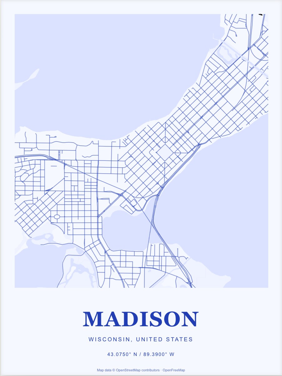
Keep both lake edges for an isthmus view.
Start with this view ↗Madison's central streets sit on a narrow strip between two lakes. The Capitol's diagonal grid makes another clear shape within that outline.
Customize your Madison printPrints from $59 · Framed from $129
Free shipping in the contiguous US and DC.
Compare the two views ↓These are the actual map designs you’ll open. Start with one, then make your changes in the studio.
Keep both lake edges for an isthmus view.
Start with this view ↗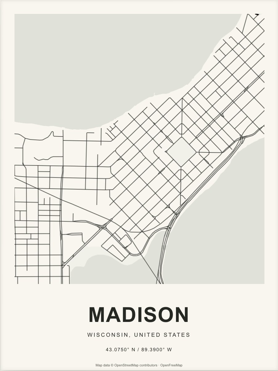
More space for the smaller blocks around central Madison. Move this view toward your own place, then add the words you want beneath it.
Make this one yours ↗Keep both lake edges for an isthmus view. Shift west to bring more of the university area into the frame, or closer to the Capitol for its street pattern.
The pictured designs show streets, water, and open spaces. You can move the map, change its colors, add a marker, and write your own title in the studio.
Street maps are the starting point for Madison. Neighborhood outlines in the studio depend on available map data; complete neighborhood coverage is not promised.
Explore the source geography on OpenStreetMap ↗Yes. Drag or zoom the map in the studio, or search for an address. The preview updates as you move. Check the edges and the detail before saving your design.
You can change the title, subtitle, and caption, choose another palette, adjust the layout, and add markers. Your saved link keeps the design so you can return to it.
Block and Paper makes physical prints. Designing and saving are free; print orders open when checkout is available. There is no print-file download.
A close street view can work well at 12 × 16 inches. A wider, denser composition benefits from more space. Compare the actual map detail, then read our print size guide.